Geographic Coordinate Relative Position Plotter
Every donation helps us do better, thank you for your generous support!
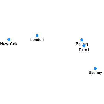
The Coordinate Relative Position Plotting Tool is an online tool that makes it easy for users to create and share geographic coordinate position maps. By inputting place names and corresponding decimal latitude and longitude coordinates, multiple position points can be marked on a unified map. This is very useful for displaying relative geographical positions, conducting preliminary geographical analysis, or sharing geographical information with others. You can easily add, delete, or update locations. In addition, you can choose whether to draw lines between the points on the map to further display their relationships. You can also export your map as a PNG image file, making it easy to use or share elsewhere. The working principle of this tool is based on the latitude and longitude data entered by the user. Through a certain algorithm, these points are converted into coordinates on a two-dimensional plane and plotted on a virtual map. Here's an example of a plot that includes Beijing, London, New York, Sydney, and Taipei: